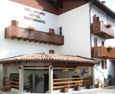
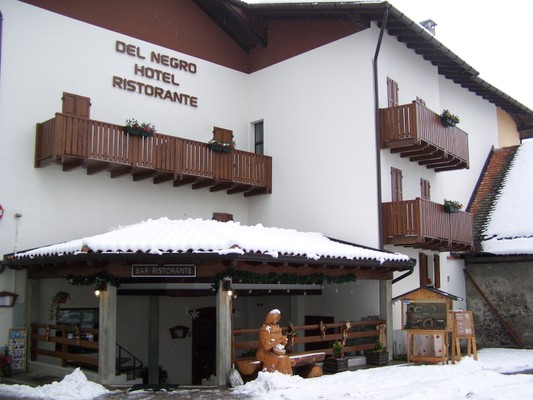
Hotel Del Negro
- SC
- BB
- HB
- FB
SC overnight stay BB b&b HB half-board FB full-board

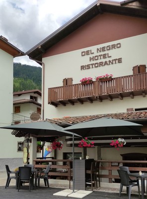
General information
at 570m a.s.l., full-board, 140m from the bus stop
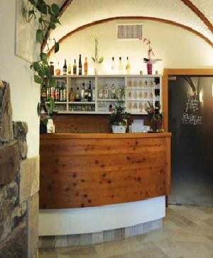
Facilities
lift, open parking space, bar
In room/apt.
safe, TV with satellite reception, hairdryer
Internet
free Wi-Fi in room/apartment and common areas
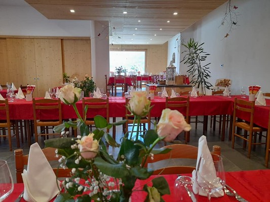
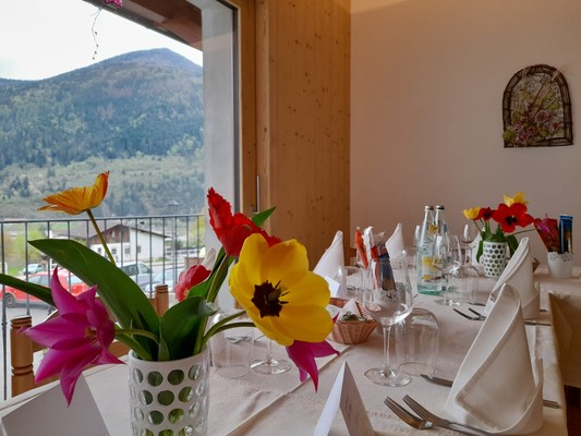
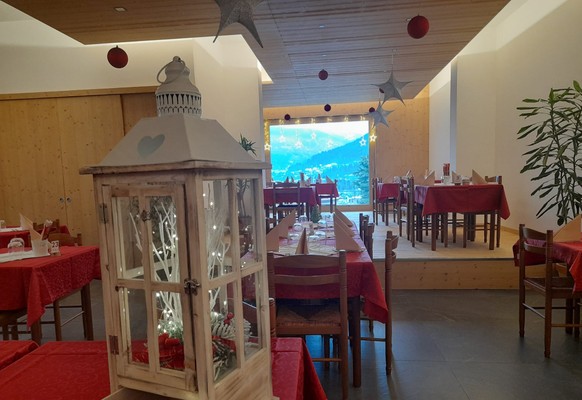
Cuisine
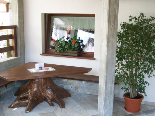
restaurant open also for lunch
Children
family-friendly accommodation
Pets
small pets allowed
Payment methods
Visa, MasterCard, ATM
Excursions
SUMMER > guided excursions organised by the facility: trekking
Ski
ski room, nearest slopes at 9km, closest cross-country trails at 11km
Availability and approximate prices
2×Double room
2×Single room
2×Double room
1×Connecting rooms
2×Camera quadruplaROOM
| age* | for existing beds |
|---|---|
| from 0 to 2 years | free of charge |
| from 3 to 6 years | 50% |
| from 7 to 12 years | 30% |
| from 13 to 17 years | 10% |
* completed age on the check-out date
Reviews
This business activity has no reviews yet.
Write the first positive review, share your experience!
Map
GPS coordinates
- lat: 46.510833° N
- lon: 12.990668° E
- lat: 46° 30’ 39.0’’ N
- lon: 12° 59’ 26.4’’ E
Surroundings of the hotel
Destinations for the winter games 2026
- Cortina d’Ampezzo96 km
- Anterselva / Antholz123 km
- Predazzo202 km
- Tesero211 km
- Verona292 km
- Livigno329 km
- Milano455 km
- Bormio519 km
An estimate of the shortest driving distances is provided. Actual distances may vary depending on the chosen route or other factors.