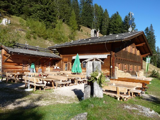
Malghetta Sciliar
Castelrotto / Kastelruth-Seis am SchlernAlpe di Siusi / Seiser Alm, Dolomites, South Tyrol
TelephoneThe Schlernbödelehütte (1693m) is located on the North-East flank of the Schlern. The hut is provided with 20 beds, which are divided into two comfortable guest rooms.
It can be reached: from Seis (Bad Ratzes hiking car park) in approx. 1 hour and 20 minutes and from the mountain station of the Seiseralm cablecar in approx. 2 hours and 15 minutes. The hut is suitable for family excursions. It is also convenient as a starting or arriving point for various trekking tours in the Dolomites or climbing tours in the Sciliar massif.
You can reach the top of the Schlern (Schlernhaus/rifugio Bolzano/Monte Petz) via the usual tourist trail or the more demanding and very steep trail, the Gamssteig.
Hospitality, friendliness and traditional South Tyrolean cuisine using regional products are the trademarks of this hut.
Reviews
Map
Malghetta Sciliar
Seis am Schlern
Castelrotto / Kastelruth
Alpe di Siusi / Seiser Alm, Dolomites, South Tyrol
GPS coordinates
- lat: 46.522028° N
- lon: 11.583695° E
- lat: 46° 31’ 19.3’’ N
- lon: 11° 35’ 1.3’’ E
