Tourist board Castelrotto - Kastelruth
Telephone: (+39) 04717063...(+39) 0471706333 / (+39) 3773021077
Availability and price enquiry
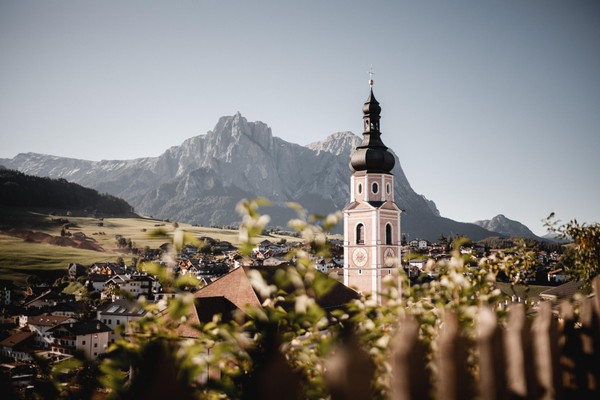
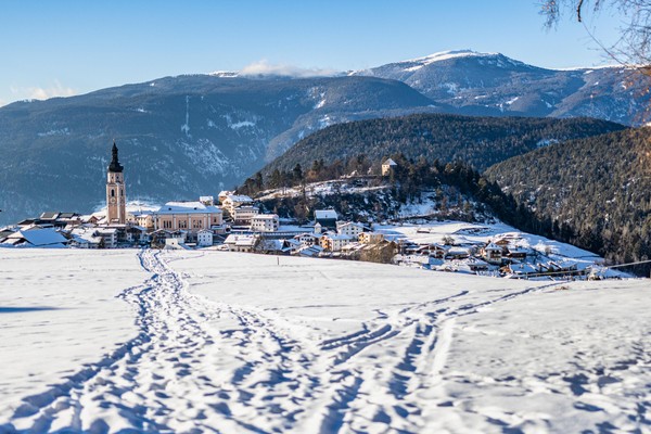
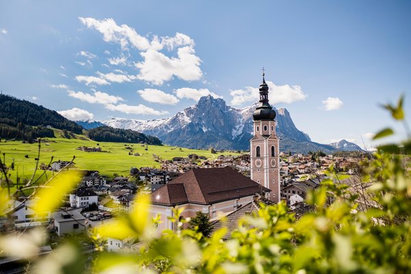
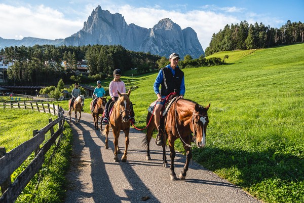
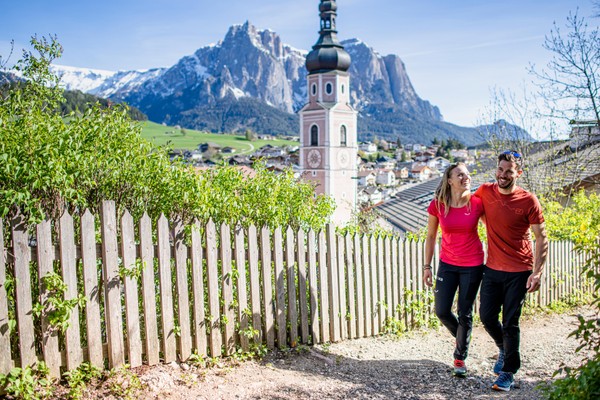
The village of Kastelruth is made up of the main village plus eleven hamlets (each being a fraction, with its own name and church building). Three of these include a population of Ladin origin. The region covers a difference in altitude of about 2,000 metres: the lowest point is St. Vigil, which is situated at 720 metres above sea level and the highest point is at the Seiser Alm.
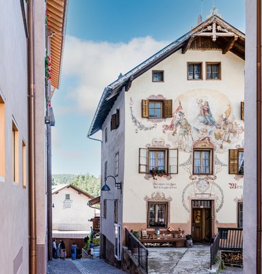
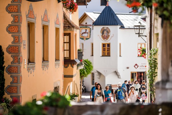
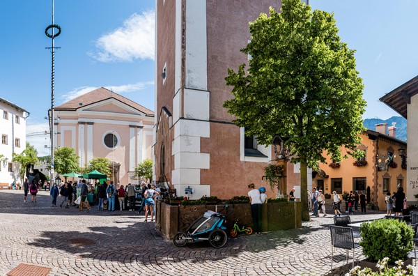
The old houses in the village centre are magnificent manor houses, which bear witness to the fact that this was not a village owned by simple farmers, but that it was the home of rich lords. In addition, the name of the village also refers to a former castle. Any remains which exist today, can be found in the St. Anthony chapel at the Kofel mountain.
Kastelruth and the entire Schlern region are literally covered by farmhouses, which creates a characteristic landscape. Some farmhouses were built during the 13th Century. The farmhouses and outbuildings are totally different type of buildings, one being a residential building while the other is used for work (i.e. the barn).
Reviews
This business activity has no reviews yet.
Write the first positive review, share your experience!
Map
Tourist board Castelrotto - Kastelruth
Piazza Kraus, 2
Castelrotto / Kastelruth
Alpe di Siusi / Seiser Alm, Dolomites, South Tyrol
GPS coordinates
- lat: 46.567709° N
- lon: 11.559500° E
- lat: 46° 34’ 3.8’’ N
- lon: 11° 33’ 34.2’’ E