Tourist office Baselga di Piné
Telephone: (+39) 04612160...(+39) 0461216000
Availability and price enquiry
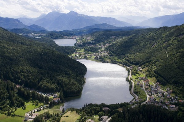
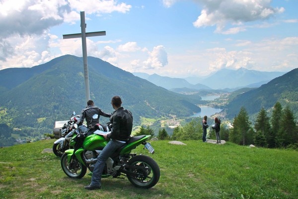
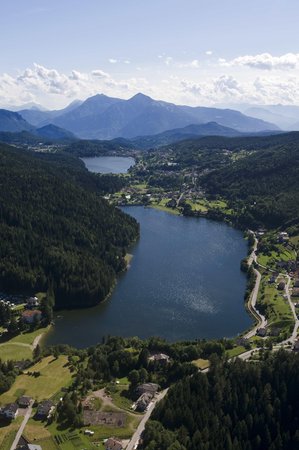
At an altitude of around 900 metres, the Piné Plateau extends parallel to the Cembra Valley, with which it forms a particular environment. The distinctive sign of the Piné panorama is the presence of certain lakes, especially Serraia Lake and Piazze Lake. Meadows and woods cover the plateau, where there are also biotopes and peat bogs.
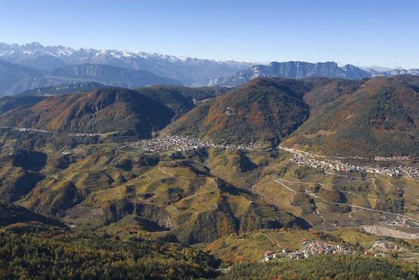
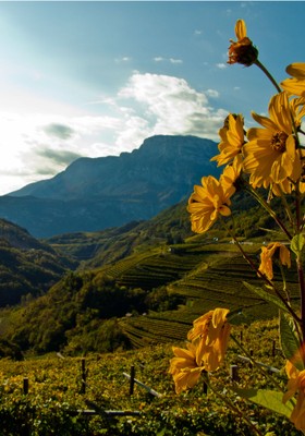
The Cembra Valley, which has a deep, narrow gorge, formed by the erosion of the River Avisio, has an unmistakable feature in the terraces on the steep hillsides, which descend towards the river. This is where the grapes are cultivated for the famous wines and fine grappas. The valley also has one of the most unusual geological formations of Trentino: the Segonzano Pyramids. These are pinnacles of earth, tens of meters high, resulting from the erosion of the mountainside.
The artistic-cultural heritage of the fifteen municipalities on the Piné Plateau and the Cembra Valley is equally valuable, with many monuments, castles and churches recently restored and brought back to their original splendor.
Reviews
This business activity has no reviews yet.
Write the first positive review, share your experience!
Map
Tourist office Baselga di Piné
Via Cesare Battisti, 110
Baselga di Piné (Altopiano di Piné)
Trento, Rovereto and Val di Cembra, Trentino
GPS coordinates
- lat: 46.131330° N
- lon: 11.246340° E
- lat: 46° 7’ 52.8’’ N
- lon: 11° 14’ 46.8’’ E